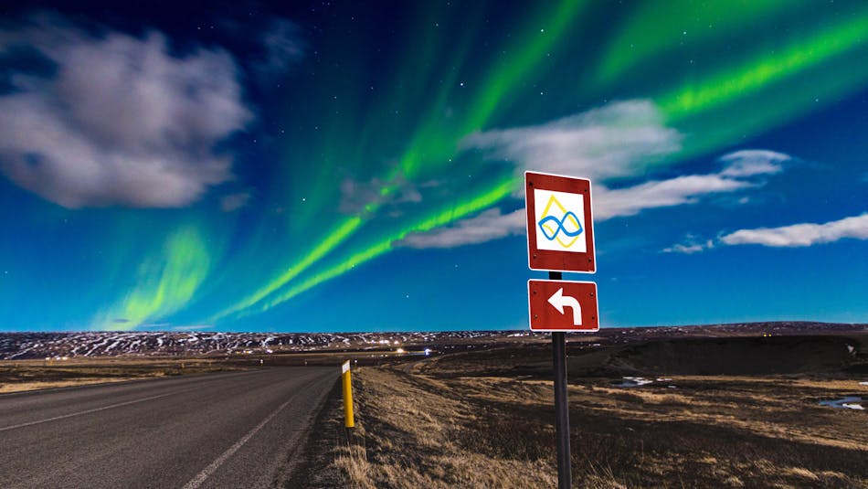
Rte 870 over Melrakkaslétta, connecting Raufarhöfn and Kópasker, is the northern-most part of the Arctic Coast Way